Architectuurtrends in Nederland Ontdekken
Pieter Janssen
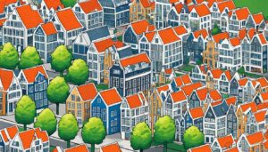
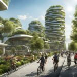
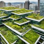
Verken de nieuwste architectuurtrends die het Nederlandse landschap vormgeven, van innovatieve wolkenkrabbers tot duurzaam ontwerp.


Tuin & Terras
Magazine
Renoveren & Opknappen
Verken de nieuwste architectuurtrends die het Nederlandse landschap vormgeven, van innovatieve wolkenkrabbers tot duurzaam ontwerp.